

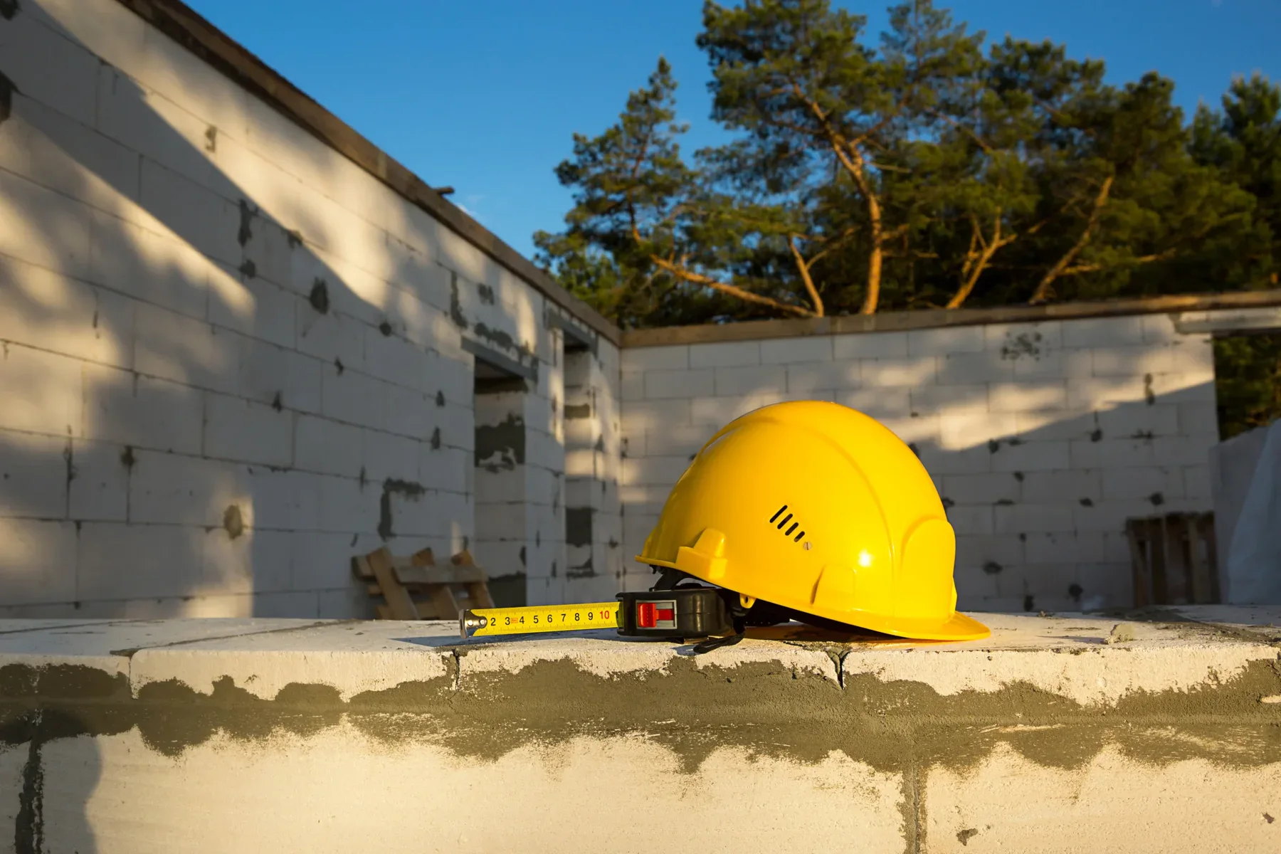
Institutional facility foundation settlement monitoring in San Ramon, California, is a specialized geotechnical and structural health evaluation service designed to measure, analyze, and mitigate vertical and lateral soil and structural displacements in real time. Institutional assets—including hospitals, educational campuses, municipal complexes, and critical infrastructure—face heightened risk from active tectonic faulting along the Calaveras Fault zone, highly expansive clay soils (Diablo series clays), and fluctuating groundwater tables. Professional settlement monitoring utilizes automated motorized total stations (AMTS), vibrating wire piezometers, micro-electromechanical systems (MEMS) tiltmeters, and satellite-based Synthetic Aperture Radar (InSAR) to detect millimetric structural shifts. This proactive surveillance ensures structural integrity, maintains compliance with California Building Code standards, prevents catastrophic foundation failure, and protects multi-million-dollar infrastructure investments.
Geological Risk Factors Driving Foundation Settlement in San Ramon
Institutional structures in San Ramon operate under demanding geological and environmental conditions. The San Ramon Valley features complex subsurface soil profiles and active seismic dynamics that demand continuous geotechnical surveillance.
-
Calaveras Fault Zone Proximity: San Ramon lies directly adjacent to and within the influence zone of the Calaveras Fault system, a major active branch of the San Andreas Fault system monitored by the United States Geological Survey. Tectonic creep, regional micro-seismic activity, and fault line stress changes create ongoing differential foundation displacement risks for large-footprint structures.
-
Expansive Diablo Clay Soils: The upper stratigraphy across much of San Ramon consists of highly plastic clay soils characterized by high shrink-swell potential. During heavy winter rains, these clay soils absorb moisture and swell; during dry summers, they shrink significantly, leading to cyclic seasonal foundation movement and differential settlement.
-
Hydrogeological Fluctuations: Deep foundation elements (such as grade beams, friction piles, and mat foundations) experience localized shifts due to fluctuations in groundwater tables, urban runoff, and deep utility excavation work.
-
Substantial Institutional Building Loads: High-density institutional facilities—such as regional medical centers, university buildings, and municipal administrative centers—impose heavy dead and live structural loads on underlying soil strata, accelerating consolidation settlement over extended operating timelines.
Core Settlement Monitoring Methodologies and Technology Systems
Modern institutional settlement monitoring combines real-time automated sensing networks with manual high-precision surveying to deliver actionable geotechnical intelligence.
1. Automated Motorized Total Stations (AMTS)
AMTS units are permanently or semi-permanently mounted optical instruments that automatically target network prisms installed on the facility’s exterior walls, columns, and structural corners. Operating 24 hours a day, 7 days a week, AMTS systems calculate 3D coordinates ($X, Y, Z$) to detect structural displacement with sub-millimeter precision.
2. Micro-Electromechanical Systems (MEMS) Tiltmeters
MEMS tiltmeters measure angular changes and rotation along structural axes. Mounted on load-bearing walls, structural columns, and foundational retaining elements, tiltmeters transmit immediate angular movement data via wireless IoT telemetry networks.
3. Vibrating Wire Piezometers and Settlement Cells
Geotechnical monitoring requires observing subsurface conditions alongside structural movement. Vibrating wire piezometers record pore water pressure variations within soil layers, while deep settlement cells measure soil consolidation beneath foundation slabs and deep foundation caps.
4. Spaceborne Synthetic Aperture Radar (InSAR)
InSAR satellite imagery offers macro-level deformation mapping across large institutional campuses. By processing radar signals reflected from earth surfaces and structures over time, InSAR identifies regional land subsidence and ground displacement patterns preceding localized structural distress.
Technical Comparison of Foundation Monitoring Technologies
| Monitoring Technology | Primary Parameter Measured | Measurement Accuracy | Monitoring Frequency | Ideal Institutional Application |
| Automated Total Stations (AMTS) | 3D Spatial Position ($X,Y,Z$) | $pm 0.5 text{ mm} – 1.0 text{ mm}$ | Continuous / Scheduled Cycles | High-rise facilities, adjacent excavation monitoring |
| MEMS Tiltmeters | Angular Rotation ($theta$) | $pm 0.001^circ$ | Real-time continuous | Load-bearing walls, structural columns, retaining structures |
| Vibrating Wire Settlement Cells | Subsurface Vertical Displacement | $pm 0.1% text{ Full Scale}$ | Continuous telemetry | Foundation soil beds, deep mat foundations, fill areas |
| Digital Optical Leveling | Vertical Elevation Change ($Z$) | $pm 0.2 text{ mm/km}$ | Periodic / Baseline audits | Facility perimeter benchmarks, floor slab elevation surveys |
| Multipoint Borehole Extensometers | Stratum-Specific Soil Consolidation | $pm 0.025 text{ mm}$ | Real-time continuous | Deep pile foundations, subsurface excavation zones |
Structural Thresholds, Compliance, and Risk Mitigation Standards
Foundation settlement monitoring for institutional facilities in California must adhere to strict engineering standards established by the American Society of Civil Engineers (ASCE) and guidelines provided by the California Geological Survey.
Geotechnical engineers establish three primary operational control thresholds during baseline monitoring configuration:
-
Green Level (Notice Threshold): Minor movement within normal seasonal design parameters (typically $< 3 text{ mm}$). Operations continue normally while monitoring frequency remains at standard intervals.
-
Amber Level (Warning Threshold): Movement approaches engineering tolerance limits (typically $3 text{ mm} – 6 text{ mm}$ or angular distortion exceeding $1/500$). Triggers engineering notifications, increased sampling frequency, and immediate site inspection.
-
Red Level (Action Threshold): Settlement exceeds structural safety limits (typically $> 6 text{ mm} – 10 text{ mm}$ or angular distortion exceeding $1/300$). Triggers automated emergency alerts, structural assessment, temporary load restrictions, and immediate execution of structural stabilization or underpinning plans.
Step-by-Step Implementation Workflow for Institutional Projects
Executing an effective foundation settlement monitoring program requires a systematic engineering approach from pre-construction through long-term facility maintenance.
-
Phase 1: Pre-Monitoring Geotechnical Assessment
-
Comprehensive review of site soil boring logs, structural plans, and historical seismic records in San Ramon.
-
Installation of stable deep benchmark systems anchored into non-expansive bedrock or non-moving deep strata outside the influence zone.
-
-
Phase 2: Sensor Network Design and Benchmark Installation
-
Strategic placement of prisms, tilt sensors, and geotechnical piezometers manufactured in the United States by providers such as GeoKon, Trimble, and Campbell Scientific.
-
Integration of wireless IoT gateways for automated, redundant data transmission.
-
-
Phase 3: Baseline Data Collection and Calibration
-
Recording of initial baseline measurements over a minimum 14-day period to account for daily ambient temperature shifts and baseline building movement.
-
Calibration of automated alert algorithms against pre-established engineering thresholds.
-
-
Phase 4: Continuous Telemetry and Structural Health Reporting
-
Automated 24/7 cloud data collection with continuous access to structural deformation graphics and time-series trend analysis.
-
Periodic certified reporting delivered by Licensed Land Surveyors and Professional Geotechnical Engineers.
-
-
Phase 5: Mitigation Integration and Foundation Repair
-
When settlement exceeds safe tolerances, monitoring data directly guides precise soil stabilization, compaction grouting, or helical/push pier underpinning solutions provided by specialists at Golden Bay Foundation Builders.
-
Frequently Asked Questions
What causes foundation settlement in San Ramon institutional facilities?
Foundation settlement in San Ramon institutional facilities is primarily caused by soil consolidation under heavy structural loads, seasonal moisture shifts in expansive Diablo clay soils, groundwater level fluctuations, proximity to the active Calaveras Fault zone, and ground disturbances caused by nearby heavy construction or deep utility excavations.
How often should an institutional facility undergo foundation monitoring?
High-risk institutional facilities (hospitals, schools, municipal infrastructure) should utilize continuous automated monitoring (AMTS and wireless sensor networks) during adjacent construction or seismic activity. For ongoing preventive structural maintenance, periodic high-precision optical leveling and tilt survey audits should be performed quarterly or semi-annually.
What is the difference between total settlement and differential settlement?
Total settlement refers to the uniform downward displacement of an entire building structure, which rarely causes immediate structural failure. Differential settlement occurs when one portion of a foundation settles more than another, creating severe angular distortion, concrete cracking, structural framing misalignment, and potential structural distress.
What monitoring instruments are used for real-time foundation monitoring?
Real-time monitoring relies on automated motorized total stations (AMTS), MEMS wireless tiltmeters, vibrating wire settlement sensors, and borehole extensometers. Hardware manufactured in the USA by leading sensor providers like GeoKon, Trimble, and Campbell Scientific provides high accuracy and long-term reliability under severe environmental conditions.
How do monitoring reports support municipal compliance and legal risk management?
Certified foundation monitoring reports prepared by licensed California civil engineers and professional land surveyors provide indisputable, time-stamped documentation of structural health. These records verify compliance with California Building Code standards, protect facility managers against liability, and isolate the causes of movement when third-party construction occurs nearby.


Comments are closed